
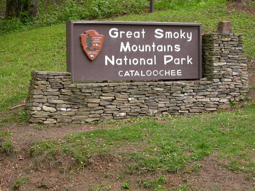
Cataloochee Valley
(Image, left, 2006 by Wesley J. Satterwhite)
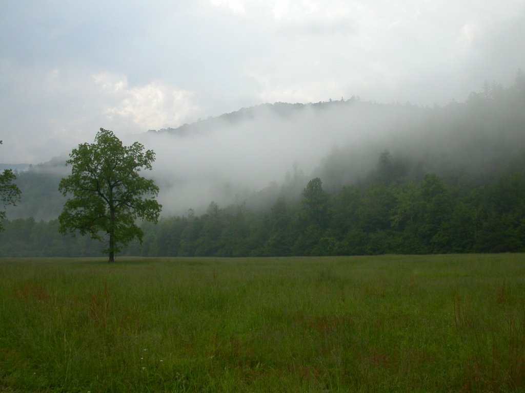
One of the best kept secrets of the Great Smoky Mountains National Park has got to be Cataloochee Valley. This stunning, oval-shaped swath of land lies nestled among some of the prettiest and most rugged mountains in the Southeastern US, ranging from 3,000 to 6,000 feet in elevation.
For a hundred years, this idyllic valley was home to the largest and most prosperous settlement in the region that was to become the National Park (larger by almost half than its more famous cousin on the Tennessee side of the Park, Cades Cove).

For may years before it was settled, this land had been used by the people of Western North Carolina for seasonal hunting, fishing, and grazing cattle and hogs. The Cherokee hunted buffalo and elk in the valley, naming the area Gad-a-lu-tsi, which has been translated as "fringe standing erect" or "standing in ranks", most likely referring to the way the trees appear to stand in line along the ridges.
(Above Right: View from Cataloochee Overlook, 2003. Image by Wesley J. Satterwhite)
John Asbury, a Methodist bishop and circuit preacher, rode through this area as he traveled the southern Appalachians in the early 1800s (one can roughly follow his route on the Asbury Trail, marked by the Park Service).
 In 1814, Henry Colwell purchased 100 acres here, but it wasn't until twenty years later, in 1834-36, that his son, James, grandson, Levi, and another man, Young Bennett, built cabins and settled on the land. Others followed, building homesteads, farms, orchards, and eventually churches and a school.
The community spread over Noland Mountain to what was then called Little Cataloochee (the oringinal community, then, dubbed Big Cataloochee). The Colwells (later called Caldwell), Bennetts, Palmers, Messers, Cooks, Woodys, and other families thrived until the valley was purchased by the Park in the early 1930's. Most of the homes and structures were razed or allowed to ruin, with a few preserved as historical exhibits.
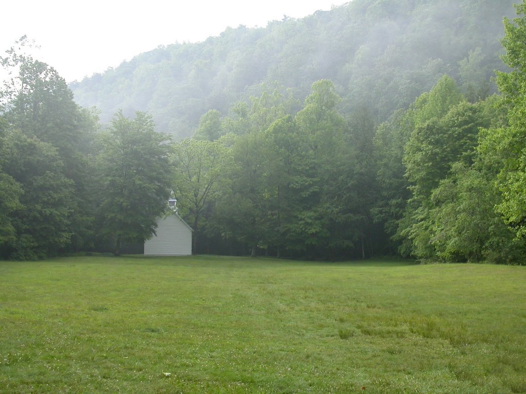
(Left: Beech Grove School, 2006. Below, right: Beech Grove School Classroom, 2006. Images by Wesley J. Satterwhite)

Still remaining are: the Palmer House, originally built as a two-room cabin with a dogtrot between, but later expanded and modernized by the next generation; the Woody Place, a white clapboard house on Rough Fork; the Caldwell
House, a rambling white frame house completed in 1906 by Hiram Caldwell, grandson of James and son of Levi; several barn structures; The Beech Grove School, built in 1901; and Palmer Chapel, built in 1902 on land donated by Mary Ann Palmer.
 (Left: Palmer Chapel Methodist Church, 2003. Image by Wesley J. Satterwhite)
The picturesque little chapel faces away from the current road because it faces a lane that runs along Palmer Creek. One can easily imagine the early settlers here walking along this lovely creek wearing their Sunday best, in no hurry to get home after meetin'.
Several historic cemeteries dot the valley, giving witness to the difficulties of a life isolated in the mountains (there are many graves of children and young adults).

Still, traveling through the valley, it is easy to imagine why these families where drawn to make a life here. It is breathtaking in its beauty.
(Right: Cataloochee Valley, Caldwell Barn, 2006. Below left: Cataloochee Valley Morning, 2003. Images by Wesley J. Satterwhite)
Access to the valley is from Cove Creek Road near Jonathan Valley, NC or via a long, winding, dirt road from the Big Creek area. Camping is available at Cataloochee Campground or at designated backcountry sites. Other amenities include a group campground and horse camp.
Many of the historic buildings can be reached from a paved road into the valley. Visiting the cemeteries requires short, steep hikes from this road.
 Hiking trails are plentiful. The ambitious can explore longer trails, such as the Cataloochee Divide Trail, Asbury Trail, and others. Moderate Trails include the Pretty Hollow Gap trail, which takes you over and into the Little Cataloochee Community, where the Cataloochee Baptist Church stands.
(Above right: Footbridge, Rough Fork Trail, 2003. Image by Wesley J. Satterwhite)
The Rough Fork Trail provides an easy walk along the creek, with several log footbridges, and takes you, after about a mile, past the Woody Place, a white frame house enclosing a log cabin built sometime before the Civil War.
Wildflowers are abundant. I noted as many as 25 different species of wildflower blooming on a recent visit, including pink ladyslipper, Indian cucumber root, Clinton's lily, and Canada mayflower (aka false lily of the valley), as well as several flowering tress, such as black locust, black cherry, and mountain magnolia.
For more information, visit the website of The Great Smoky Mountains National Park.
(Above: Cataloochee Valley, 2006. Image by Wesley J. Satterwhite)

posted by wesleyjeanne @ 12:33 PM
![]()


4 Comments:
At Friday, 19 May, 2006, Leslie Shelor said…
What an interesting and beautiful place! The history is intriguing!
At Saturday, 20 May, 2006, D L Ennis said…
Wesley, what a beautiful place and some wonderful images! This place sounds like heaven!
At Saturday, 20 May, 2006, John Roberts said…
My family's favorite place to camp and roam around. And it's a lot less crowded than most other places in the park. Your article has got me itching to go again soon!
At Friday, 14 July, 2006, Mike said…
ah a horse camp too!
Post a Comment
<< Home